
🤝 Top Collaborators

🤓 Latest Submissions
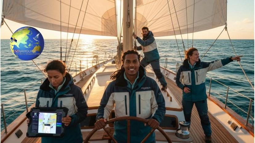
NAVIGUIDE for Berry-Mappemonde
Some journeys demand more than a map. The Berry-Mappemonde expedition connects all French overseas territories across every ocean on Earth — from the Mediterranean to the Pacific, from the Caribbean to the Indian Ocean. NAVIGUIDE was built for exactly this kind of journey. See the world's maritime routes come alive on a single, living map. Every leg of the expedition is there — plotted, calculated, and ready to explore. Zoom into any passage, trace any crossing, and understand the full scale of what lies ahead. Know the wind before it shifts. Read the waves before they build. Feel the currents before they push back. Touch any point along the route and the ocean reveals itself — live satellite conditions, updated in real time, translated into clear and immediate insight. Wind speed and direction. Wave height and period. Surface current strength and flow. Everything a skipper needs, exactly when it matters. The expedition route is your starting point — not your limit. Draw your own path, point by point, and watch the maritime routing calculate each leg in real time. Import a route you trust. Export one you've built. Every course is yours to keep, refine, and share with your crew. Before each passage, an intelligent briefing analyses the journey ahead. Risk levels assessed. Critical moments flagged. Expert guidance delivered for every leg — so you sail with clarity, not uncertainty. Many flags. Many territories. One unbroken route around the world. This is how great expeditions begin.
2 Mar 2026

