.png&w=256&q=75)
MUNAGAPATI Nanditha@nanditha_00015
1
Events attended
1
Submissions made
Looking for experience!
Socials
🤝 Top Collaborators

.png&w=640&q=75)
🤓 Latest Submissions
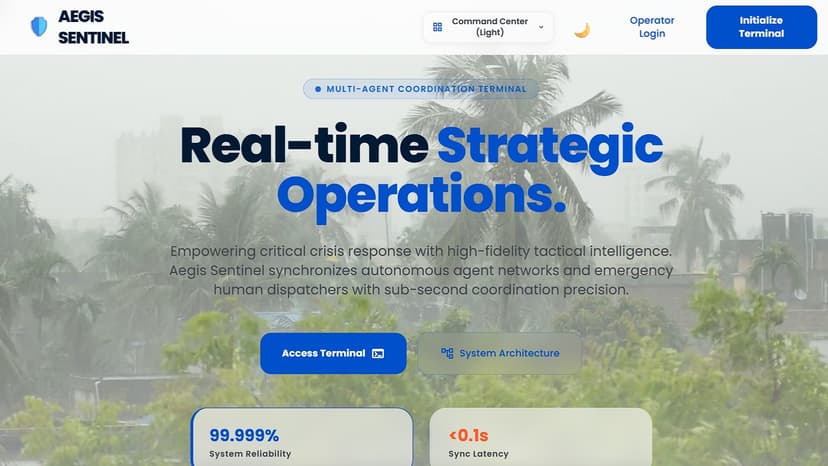
AEGIS Sentinel: Multi-Agent Emergency Terminal
AEGIS Sentinel is a premium, real-time crisis coordination and spatial tracking dashboard built to solve communication blindness during regional disasters. During natural emergencies, survivors and dispatchers face network outages, rumor pollution, and static, cross-country evacuation paths that lead directly into hazard zones. AEGIS Sentinel addresses these challenges by deploying a collaborative, parallel multi-agent pipeline. The ASR Ingestion Agent processes dispatcher feeds using Speechmatics' Enhanced ASR. The Web Search Agent scrapes live reports matching the geolocalized city using Bright Data and Google News RSS feeds. The AI Reasoning Agent (Gemini 3.5) filters out rumors, evaluates threat details, extracts coordinates, and assigns verification scores. Finally, the Automation Agent registers threats in Cognee Graph Memory and triggers custom webhooks. Key Features: - One-Click Geocentric Localization: Automatically centers Leaflet dark maps via network/GPS/IP Geolocation, reverse-geocodes via OSM Nominatim, and queries custom Indian Cities and GeoDB API caching routes. - Proximity-Constrained Evacuation: If standard shelters are over 50km away, the system projects a virtual municipal shelter 1.5km away, drawing neon-green dashed paths. - Acoustic SOS Siren: Employs Web Audio API oscillators to emit European safety horns for search-and-rescue. - Walkie-Talkie Speech warnings: Synthesizes automated alerts with simulated radio beeps and trailing white-noise static squelches. - Live Background SMTP Dispatch: Fires comprehensive advisory emails listing active threats directly to operator inboxes asynchronously.
31 May 2026
