
.png&w=256&q=75)
Kennedy Rotich@kipsongokkibet12553
2
Events attended
1
Submissions made
Kenya
1 year of experience
About me
I am a Geographer with interest in Geospatial technologies and in particular GEOAI. I strive to foster integration of these technologies in order to respond to human needs by utilizing the existing data for positive impact on development, enviroment stewardship,natural resource management, mitigation of climate change, improved living standards and sustainability. I believe that utilization of these technologies is limited by imaginations rather than technological constraints. i look format to networking and co-creation with like minded persons in these arena.
🤓 Latest Submissions
Agentic EWS Advisory system
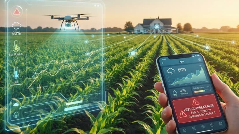
Smallholder farmers in North Rift and similar rain-fed agricultural zones rely on generic, county- or region-level seasonal forecasts that frequently diverge from what actually happens on their specific plot. This mismatch — worsened by the lack of insurance cover — leads to planting-window errors, crop failure, and unmanaged risk. The farmers who need the most precise information have the least access to it, and existing digital advisory tools are rarely both hyper-local (tied to exact coordinates) and low-bandwidth accessible (WhatsApp/SMS rather than apps or web dashboards). The design goals are> 1. Hyper-local accuracy – advisories tied to the farmer's registered GPS point, not administrative boundaries. 2. Zero-app-install accessibility – WhatsApp Business API as primary channel, plain SMS as fallback for feature phones/no data. 3. Agentic, not just automated – a coordinated set of AI agents that fetch, reconcile, forecast, reason, and communicate, rather than a single rigid pipeline. 4. Ground-truthed – EO and reanalysis data reconciled against in-situ automatic weather stations (AWS) and farmer-reported observations, so the system self-corrects when satellite/model data drifts from reality
13 Jul 2026

