.png&w=256&q=75)
🤝 Top Collaborators
.png&w=640&q=75)

🤓 Latest Submissions
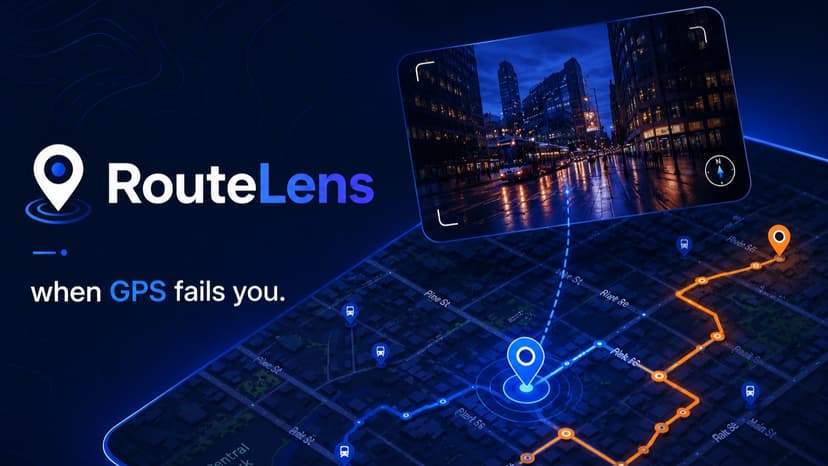
RouteLens
In many situations, GPS can become unreliable, either due to difficult locations, a malfunction, or a temporary shutdown. Our aim is to build a system that works alongside the GPS in order to improve its accuracy and act as a backup in case it fails. RouteLens explores the possibility of using images from the user, as well as images retrieved from the user’s route and multimodel reasoning, to estimate the user’s location along the route. Our system, when given images from the user, will use google street view images, CLIP embeddings, similarity based ranking, and Gemini's multimodel reasoning, to estimate the user's location along the route.
Hackathon link
19 May 2026

