.png&w=256&q=75)
Mouad bouhadiba@Keen_Eclipsehq9n
4
Events attended
3
Submissions made
Algeria
2+ years of experience
About me
I'm a Mobile App Developer and AI Developer based in Relizane, Algeria. I participated in several AI hackathons on platforms like lablab.ai, often as part of Algerian teams (e.g., Smart Crew DZ or GenisiusDz). In the AI for Connectivity Hackathon II (around March 2025), you contributed to GeoNode AI, an app built on the Qubic blockchain for connectivity-related solutions.lablab.ai For the Code Craft AI x Dev Hackathon, I developed Code Rubby DZ, an AI-powered code generation tool aimed at simplifying coding for developers at various skill levels.lablab.ai In the Execute: AI Genesis event, i was part of GenisiusDz, a team of AI, drone, and energy experts creating a smart system for monitoring solar panels.
🤓 Latest Submissions

Code Rubby DZ
Code Rubby is an innovative, AI-powered code generation tool designed to simplify the coding process for developers of all skill levels. Built using the Flask web framework, it harnesses the advanced capabilities of Novita AI's DeepSeek model to transform user prompts into functional, well-structured code snippets. The application features a modern, user-friendly interface with customizable dark and light themes, a local history feature for tracking past prompts and responses, and animated buttons for an engaging experience. it ensures scalability and accessibility, making it an ideal companion for rapid prototyping, learning, or automating coding tasks. With its vibrant design (featuring #3b82f6 and #1e40af hues) and robust backend, Code Rubby empowers users to bring their coding ideas to life with ease.
15 Jun 2025
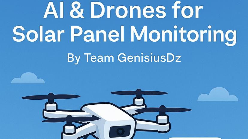
solat montoring ai with drones
Here is a **long description** for your project idea: **Solar Panel Monitoring System with Drone Simulation, CNN-Based Defect Detection, and YOLOv9 Dataset Integration via Web Interface**. --- ## 🌞 Long Description: Solar Panel Monitoring with AI and Drones This project presents a simulated **intelligent solar panel monitoring system** that integrates **drone-based inspection**, **deep learning-based defect detection**, and a **web-based visualization interface**. The goal is to demonstrate how modern AI techniques can automate and enhance the monitoring of solar panel infrastructure to ensure optimal performance and early fault detection. --- ### 🚁 1. Drone Simulation and Image Capture The system includes a simulated **DroneAPI** which emulates: - **Takeoff and landing operations** - **Autonomous navigation** to predefined solar panel locations - **Capture of RGB images** representing visual data - **Capture of thermal images** mimicking heat distribution across panels This simulation framework can easily be adapted to real drone APIs such as DJI or Parrot for real-world deployment. --- ### 🧠 2. Defect Detection using Deep Learning (CNN) To analyze the condition of the solar panels: - A **Convolutional Neural Network (CNN)** is used to classify RGB images into **three categories**: - `Normal` - `Crack` - `Dirt` The CNN is designed to be lightweight and fast, ideal for real-time edge deployment or drone-based processing. Thermal images are further analyzed for **hot spots**, which may indicate malfunctioning cells or overheating, using threshold-based anomaly detection. --- ### 📊 3. Automated Report Generation After inspecting all panels: - The system generates a visual report using `matplotlib` which includes: - A histogram showing the distribution of detected defects - A bar chart indicating the number of hot spots per panel - The report and all captured images are saved in the `static/` folder and can be accessed from the web interfac
1 May 2025
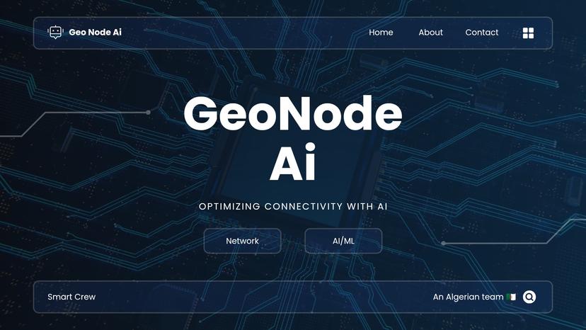
GeoNode AI app
GeoNode AI addresses the challenge of improving public sector network scalability and efficiency in rural and remote areas. By leveraging KMeans clustering, it proposes optimal telecom node locations based on population coordinates and elevation data. The platform integrates real-time Sentinel-2 satellite imagery from the Copernicus API to provide terrain context, enhancing planning accuracy. Its interactive web interface, built with Flask and Folium, features a map with draggable nodes, a live coverage calculator, and export options (CSV, GeoJSON). Designed for accessibility, it includes a user-friendly sidebar for settings and statistics, making it a valuable tool for planners and engineers. Licensed under MIT, GeoNode AI is extensible, with potential for custom data integration and advanced terrain analysis.
2 Mar 2025


