
.png&w=256&q=75)
🤝 Top Collaborators
.png&w=640&q=75)
🤓 Latest Submissions
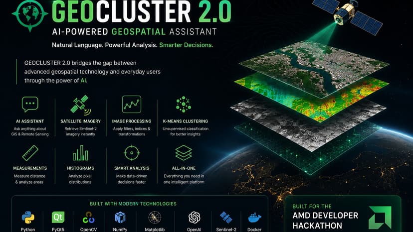
GEOCLUSTER 2.0: AI Geospatial Assistant
GEOCLUSTER 2.0 is an intelligent desktop application developed for the AMD Developer Hackathon to simplify geospatial image analysis through artificial intelligence. The application combines satellite imagery retrieval, GIS image processing, and a conversational AI assistant into a single workflow. Users can interact using natural language to perform remote sensing tasks such as loading Sentinel-2 imagery, applying image processing algorithms, and asking GIS or remote sensing related questions. Key Features: • AI-powered natural language assistant • Sentinel-2 satellite imagery retrieval • K-Means image classification • Histogram generation • Mean filtering • Thresholding • Brightness adjustment • Negative transformation • Distance measurement • Interactive PyQt5 desktop interface • Draggable floating AI assistant Tech Stack: • Python • PyQt5 • OpenAI GPT-OSS-20B • Sentinel-2 imagery • OpenCV • NumPy • Matplotlib GEOCLUSTER 2.0 demonstrates how AI can make advanced geospatial analysis more accessible by allowing users to interact with GIS tools using natural language instead of complex software workflows.
12 Jul 2026
